
Seeing Without Digging: LiDAR, Remote Sensing, and Geophysics in Landscape Archaeology
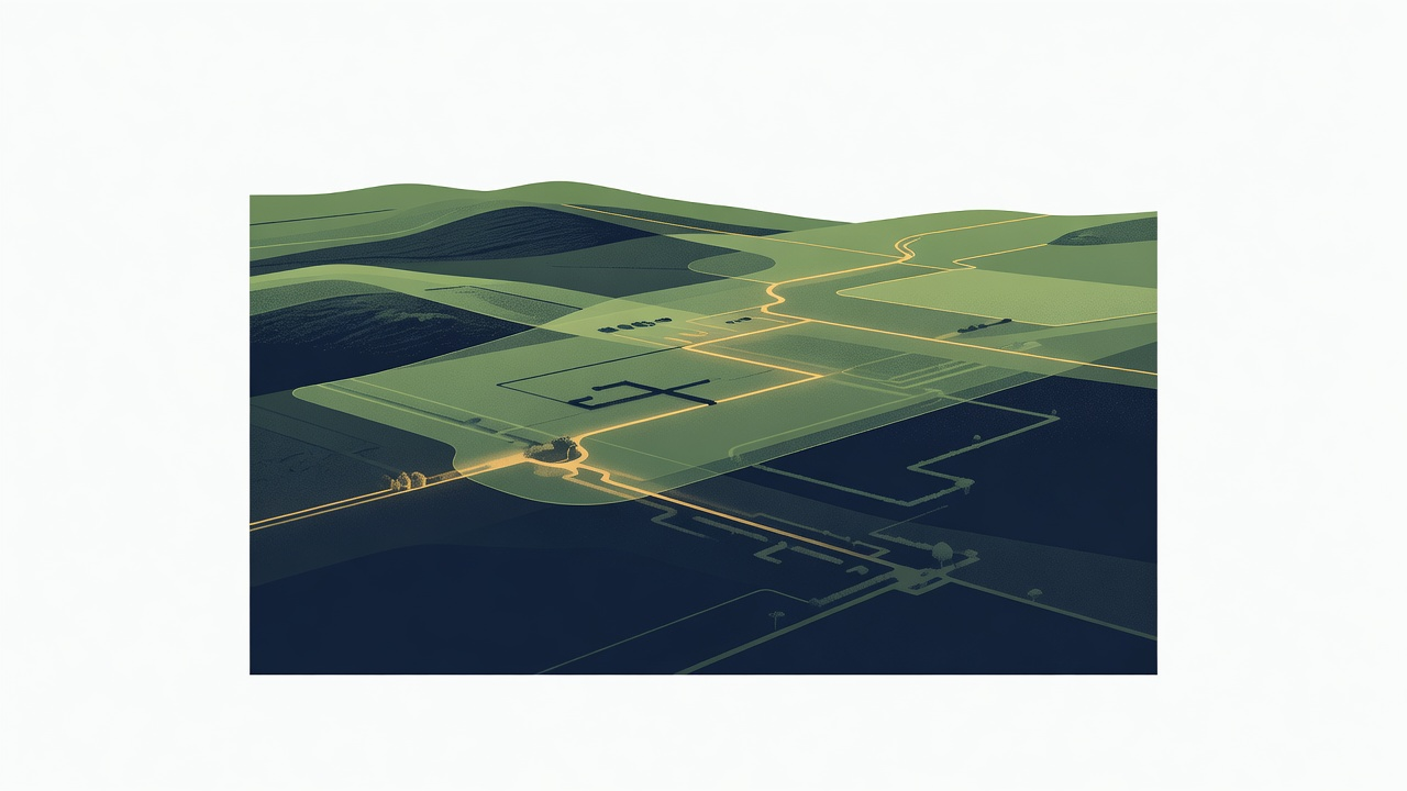
Imagine standing atop a misty ridge in Mesoamerica, the jungle canopy stretching endlessly below. No spade in hand, no trench dug. Yet, ghostly outlines of ancient cities emerge on your screen—platforms, causeways, pyramids hidden for centuries. This is the quiet revolution of landscape archaeology: reading the earth's biography without disturbing its pages.
In this companion to our Archaeology Door series—echoing themes from Sacred Places, Sacred Kingship, and The Great Journey—we explore non-invasive archaeology. Here, technology unveils the subtle signatures humans leave on their environments: field boundaries faded into grass, mounds swelling beneath plowed soil, paths etched into hillsides. These methods don't declare discoveries; they invite us to read the landscape, prompting deeper questions about how people shaped, and were shaped by, their worlds.
The Foundations of Landscape Archaeology
Landscape archaeology views terrain not as blank canvas but as palimpsest—a manuscript scraped and rewritten over millennia. Every ridge, watercourse, and soil mark whispers of settlement patterns, ritual routes, and resource use. Traditional archaeological survey meant walking fields, eyes peeled for surface scatters. Effective, yes, but limited by vegetation, weather, and sheer scale.
Enter non-invasive tools. They detect anomalies—deviations in light, soil magnetism, or radar waves signaling buried features. These are clues, not certainties. As one archaeologist notes in field reports, "LiDAR shows shadows; only digging reveals stories." Ground-truthing—targeted test pits or excavations—bridges the gap.
Aerial Photography and the Dawn of Remote Sensing Archaeology
From Balloons to Planes
The story begins overhead. Pioneers like O.G.S. Crawford in the 1920s photographed British downs from biplanes, revealing cropmarks—stunted or darkened plants betraying buried walls. Shadows at dawn or dusk elongate subtle earthworks. This remote sensing archaeology scaled up surveys exponentially, mapping vast areas affordably.
Satellites Join the Skywatch
Today, satellites like Landsat or Sentinel peer through clouds with multispectral imaging, spotting vegetation stress or ancient field systems in arid zones. In Peru's Nasca lines or China's Silk Road outposts, these reveal linear features invisible from ground level. Yet anomalies persist: a satellite "line" might be a modern track, demanding boots-on-ground verification.
LiDAR Archaeology: Laser Eyes Through the Forest
LiDAR archaeology—Light Detection and Ranging—fires millions of laser pulses from aircraft, measuring returns to build 3D models. Vegetation? Filtered out, exposing topography beneath. In Cambodia's Angkor region, it mapped 600 square kilometers of waterways and temples, transforming our grasp of urban sprawl. Mesoamerican surveys unveiled millions of overlooked structures, hinting at denser populations than texts suggest.
But LiDAR delivers bare-earth models, not artifacts. Features appear as bumps or ditches—promising leads for archaeological survey, yet requiring excavation to confirm dates or functions. It's a map to treasure, not the chest itself.
Geophysics: Probing the Ground Without a Shovel
Magnetometry, GPR, and Resistivity
- Geophysics GPR magnetometry: Magnetometers detect iron-rich hearths or kilns disturbing earth's magnetic field, tracing ditches in fluxgate surveys.
- Ground-Penetrating Radar (GPR) sends radar pulses, imaging stratigraphy up to meters deep—walls as hyperbolas, voids as shadows.
- Resistivity measures soil moisture resistance; stone foundations resist more, emerging as high spots.
Pushed by cart or drone across fields, these yield colorful anomaly maps. A Roman villa in England? Magnetic highs outline rooms. But "pits" might be tree throws; non-invasive archaeology thrives on skepticism.
Anomalies to Truth: The Role of Ground-Truthing
No tech is infallible. LiDAR mounds could be natural hills; geophysical blobs, geologies quirks. Ground-truthing deploys test pits at high-potential spots, yielding pottery or postholes to date and interpret. This hybrid approach—remote sensing guiding excavation—multiplies efficiency, preserving sites while illuminating landscapes.
Ethics loom large. Publishing precise coordinates risks looting; many projects withhold data or use broad zones. Respecting descendant communities honors the living ties to these biographies.
Reflections: Landscapes as Living Archives
The land remembers. We, with our tools, learn to listen.
From aerial whispers to geophysical echoes, these methods enrich landscape archaeology, revealing how sacred paths connected kings to kin in migrations across epochs. They remind us: discovery is dialogue, not conquest.
Journal Prompt
Walk your local landscape. What subtle signs—mounds, alignments, old paths—hint at forgotten biographies? Sketch or note them, then research: what stories might they hold?