
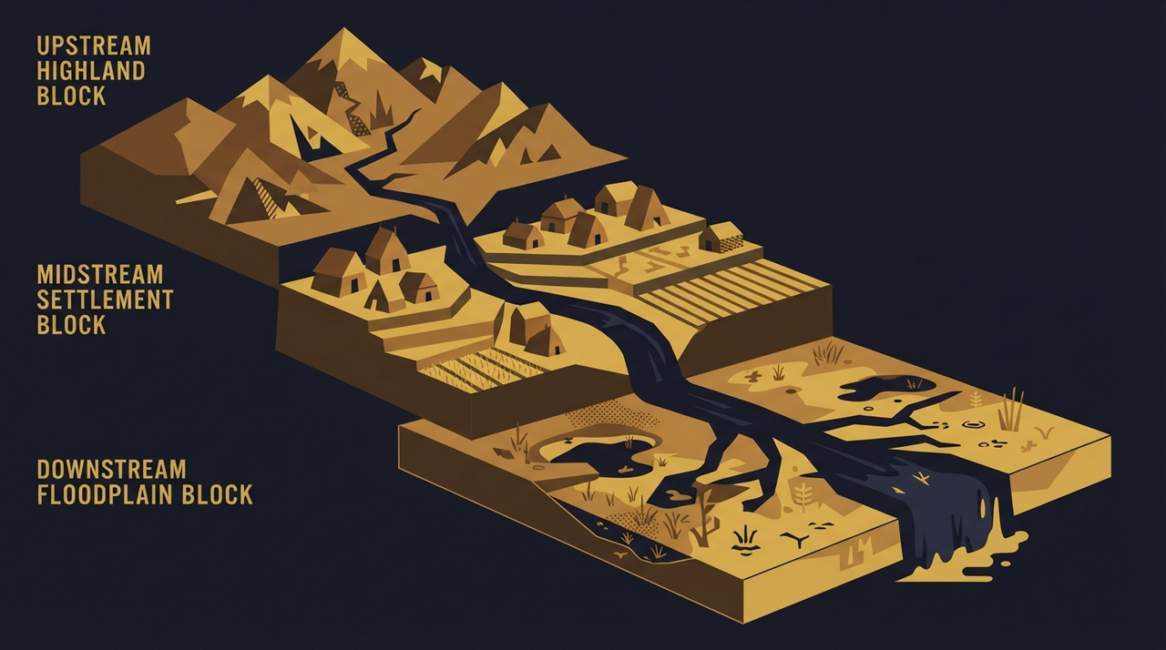
Unequal Exposure: Floodplains, Downwind Risks, and the Hidden Geography of Environmental History
Picture a single river carving through a valley. Low on the floodplain sits a sturdy timber house, its fields renewed each year by silt-laden floods. The family inside tends crops that thrive in that dark, fertile soil. Higher up the slope stands a stone villa, its owner gazing down at the waters rise and recede. The same river nourishes both. The same floods threaten one and spare the other. This is the hidden geography of exposure.
Environmental histories often describe a flood, a drought, or a storm as events that struck a whole society or climate. Such accounts smooth over the map of unequal environmental exposure. Not every household meets the river, the wind, or the silt on equal terms. Floodplain risk falls unevenly. Smoke from kilns drifts downwind to certain villages. Tail-water carries another's waste downstream. Who settled the low ground? Who breathed the fumes? Who farmed the deposited silt? Landscape inequality shapes disaster history, revealing human choices amid nonhuman forces.
Floodplains: Fertility Meets Floodplain Risk
Floodplains draw people for their gifts. Annual inundations deposit nutrient-rich silt, ideal for grains and vegetables. In ancient Mesopotamia, settlements clustered along the Tigris and Euphrates, where levees and canals channeled the waters. Archaeological tells, those artificial mounds of repeated occupation, record layers of flood deposits alternating with human debris. Rebuilding happened season after season. Laborers and farmers lived here, their homes rebuilt after each deluge. Fortified towns crowned nearby hills, housing elites who oversaw the fertile bottoms from safety.
Scale matters. These were local patterns, tied to specific rivers in the Bronze Age. Human agency built the canals and dikes. Nonhuman life, from reeds to fish, shaped the edges. Uncertainty lingers in the strata: was each layer a major flood or routine overflow? Floodplain settlement offered prosperity to some and peril to others, a calculus of risk and reward etched into the land.
Downwind Risks from Workshops and Kilns
Winds carry more than fresh air. Workshops, kilns, mines, and charcoal hearths sent plumes across valleys. Archaeology uncovers the traces. In the Roman province of Britannia, lead smelting left isotopic signatures in peat bogs downwind of the Mendips. Those residues settled over fields and pastures used by herders and smallholders. Charcoal production for iron forges cleared woodlands, and the smoke drifted to valleys below, where villages persisted through the Iron Age.
Evidence comes from bog cores and soil profiles, revealing metals and charcoal particles. No precise measurements survive, but the patterns point to exposure gradients. Upslope sites show cleaner records. Downwind communities bore the fallout from upstream industry. Chronology pins these to centuries of use, with labor fueling the furnaces. Here, too, landscape inequality emerged: workshops near resources, their burdens borne elsewhere.
Downstream Communities and Shared Waters
Rivers flow one way. Upstream districts diverted water for fields, leaving silt, salts, or waste for those below. In the ancient Indus Valley, canal systems brought fertility to head-end farms. Tail-water reached lower fields, heavier with sediments or alkalis. Archaeological surveys show field sizes diminishing downstream, with coarser deposits. Farmers there adapted, or abandoned when yields faltered.
Later comparisons sharpen the view. In medieval European millstreams, upper ponds silted lower reaches, burdening downstream mills. Colonial records from the Americas note plantation runoff clouding creeks used by Indigenous and smallholder communities. These cases stay specific to their eras and places, highlighting downstream communities as recipients of upstream choices. Infrastructure like dams amplified the flows, while labor maintained the channels.
Tracing Evidence in Environmental Justice History
Reconstructing unequal environmental exposure demands careful evidence. Pollen in sediments tracks land use changes. Geochemical analysis reveals pollutants. Stratigraphy dates the floods. Texts, when they exist, often come from hilltop scribes, archiving elite losses while silencing floodplain voices. Archaeology fills gaps, but erosion erases low ground first. Interpretation weighs human decisions against river courses and wind patterns. Living communities hold oral records, adding layers beyond the archive.
Urban parallels appear in nineteenth-century industrial cities, where factories belched smoke over tenement districts downwind. Such disaster history connects to economics of labor placement, politics of land grants, health patterns in residues, archaeology of residues, and sacred places atop the heights. Yet ancient cases resist modern overlays. They invite curiosity about agency: who chose the low ground for its soil? Who repaired after floods? Who fled to higher ground?
Mapping the Uneven Terrain
Unequal environmental exposure threads through time, a map of who meets nature's forces where. Floodplain risk, downwind drifts, downstream burdens: these patterns persist because humans settle unevenly. Evidence sets bounds on what we know. Interpretation probes the why. Living authority grounds the stories.
Consider your own valley. Whose house sits low? Whose commands the view? Disaster history awaits those questions.